Sedona Jeep Trail Map
Interactive Sedona jeep trail map — Broken Arrow, Soldier Pass, Diamondback Gulch, the Outlaw Trail and the Mogollon Rim, with which operator runs each trail, trailhead pins and the 2026 access rules.
Sedona’s red rocks are laced with old mining and ranch roads that are now the West’s most famous 4WD trails — but the trail you’ve heard of isn’t always the trail you can book, and that’s where most visitors get tripped up. Broken Arrow, the iconic slickrock crawl past Submarine Rock and Chicken Point, is Pink Jeep–only by U.S. Forest Service permit. Soldier Pass caps motorized access at 12 day-use permits a day behind a gated, time-controlled entrance. Diamondback Gulch can shut down hours after rain when its clay ‘Greasy Spoon’ section turns to grease.
Use the map to see where each trail actually is, how hard it rides, and which tour gets you on it — coloured pins are bookable tours grouped by trail area, grey diamonds are the trailheads and landmarks (Broken Arrow, Chicken Point, Devil’s Bridge, the Airport Mesa vortex) that orient the whole red-rock basin. Tap a trail area to light up its tours, then Locate any tour to fly the map to it.
If you just want the easiest, highest-rated way onto the high country, the Pink Jeep Scenic Rim climbs mild dirt roads 2,000 feet to the Mogollon Rim — no rock-crawling, family-friendly, and the tour this site is built around. Not sure which trail suits you? The Broken Arrow vs Soldier Pass guide breaks the two headline trails down side by side.
Travellers also search
Tap a trail area below (or a coloured pin) to light up its tours — the rest stay as dots. Click any pin for the tour card, or ◉ Locate on a card to fly the map to its trail. Map data © OpenStreetMap contributors.
Grey diamonds are trailheads & landmarks (Broken Arrow, Chicken Point, Devil's Bridge, Airport Mesa Vortex) — orientation pins, not bookable tours. Broken Arrow in particular is Pink Jeep–only by USFS permit.
The classic climb out of the canyon. Mild dirt roads switchback up roughly 2,000 feet to the Mogollon Rim for Sedona's widest red-rock panoramas — this is the gentlest, most family-friendly way onto the high country. Trailhead: Schnebly Hill Road off SR-179. The upper, unpaved section closes in winter snow, so rim tours stay on the lower grade when the gate is shut.
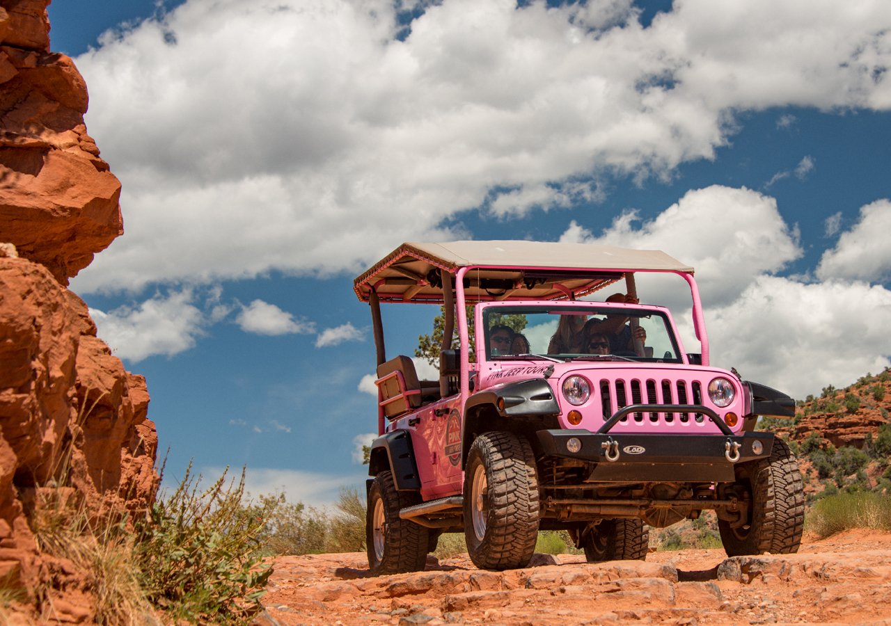
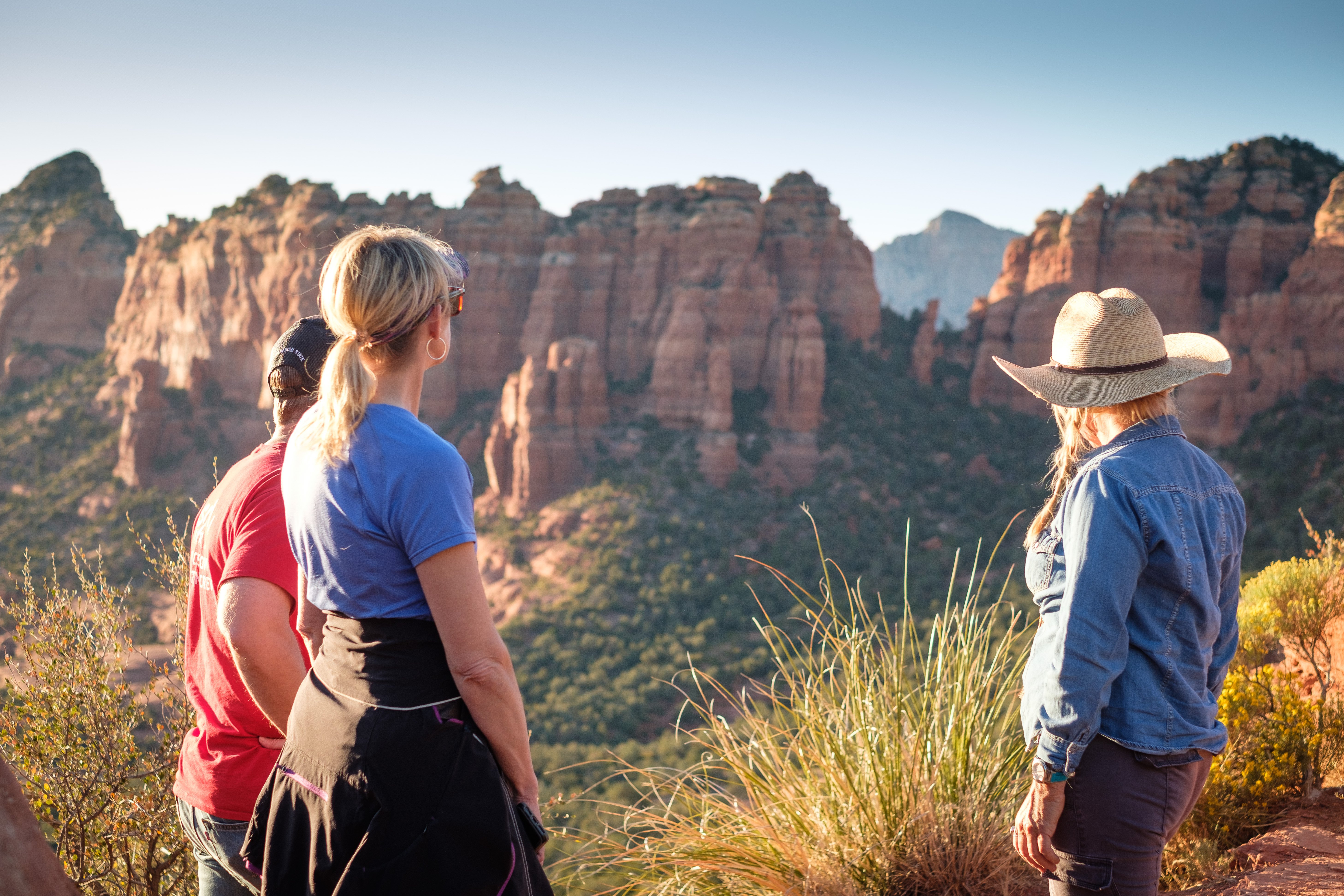
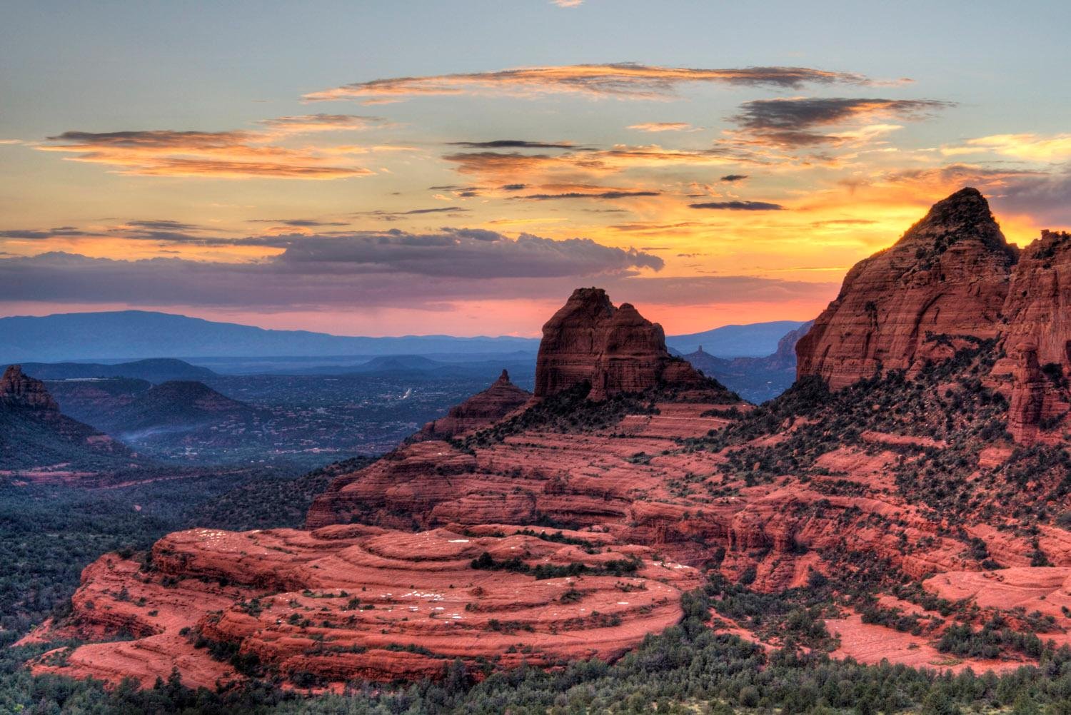
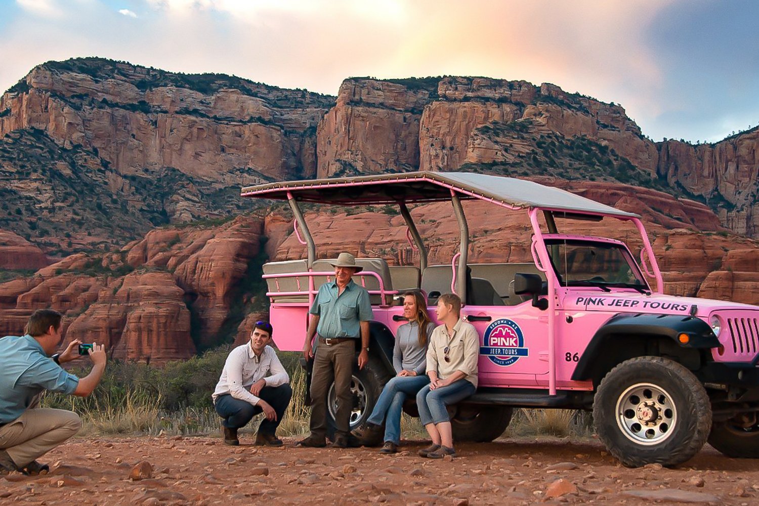
Sedona's ‘rollercoaster’ country, west of town — steep-sided ravine crossings, slickrock ledges and the trails the Hummer/Jeep operators rate hardest (Cliff Hanger, Gambler, Lil’ Rattler). Difficulty runs moderate to tough. The clay ‘Greasy Spoon’ section of Diamondback turns impassable when wet, so these tours can reroute after rain — check the season before you book.
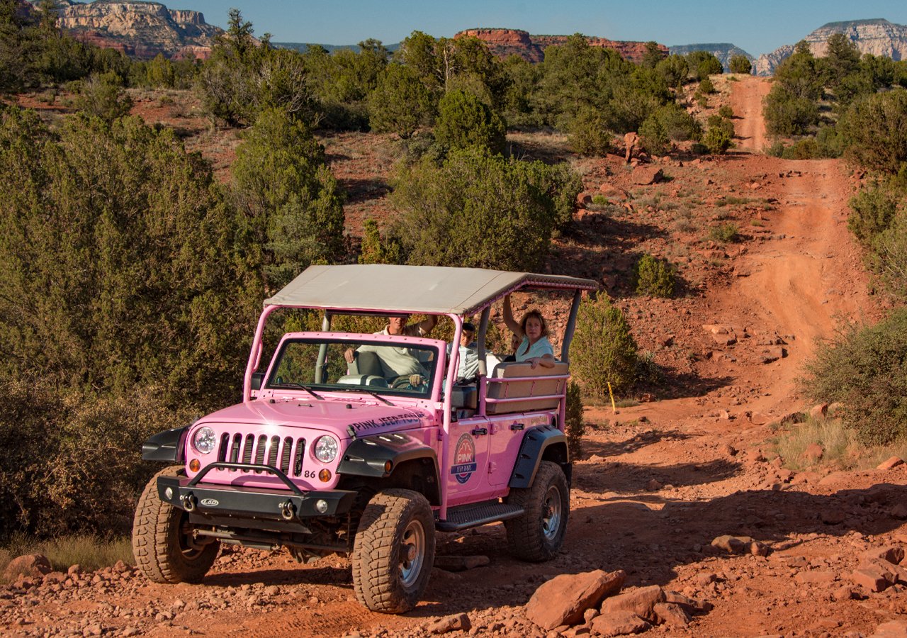
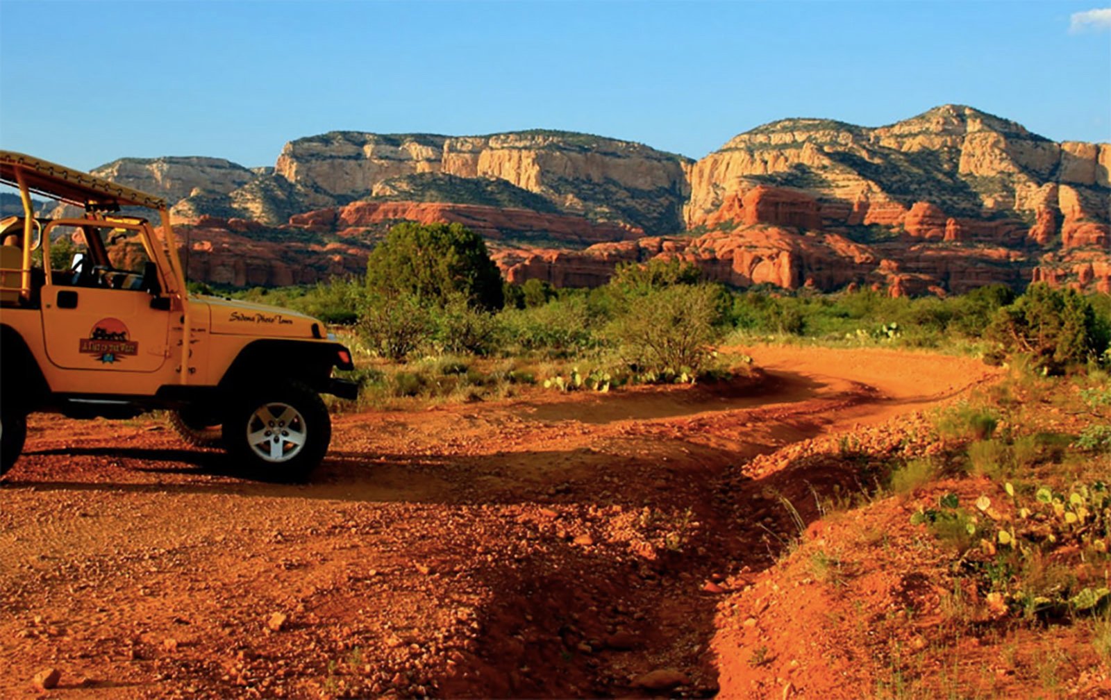
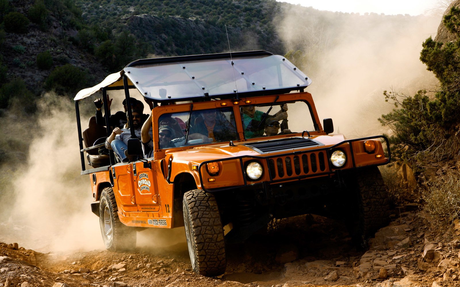
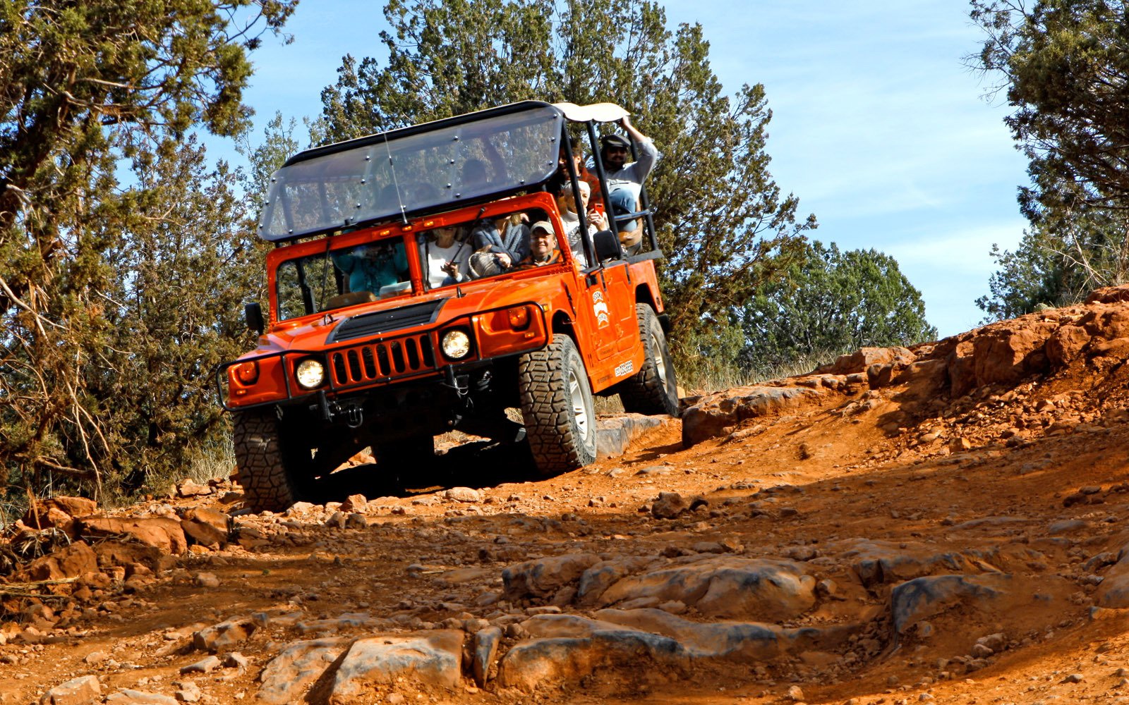
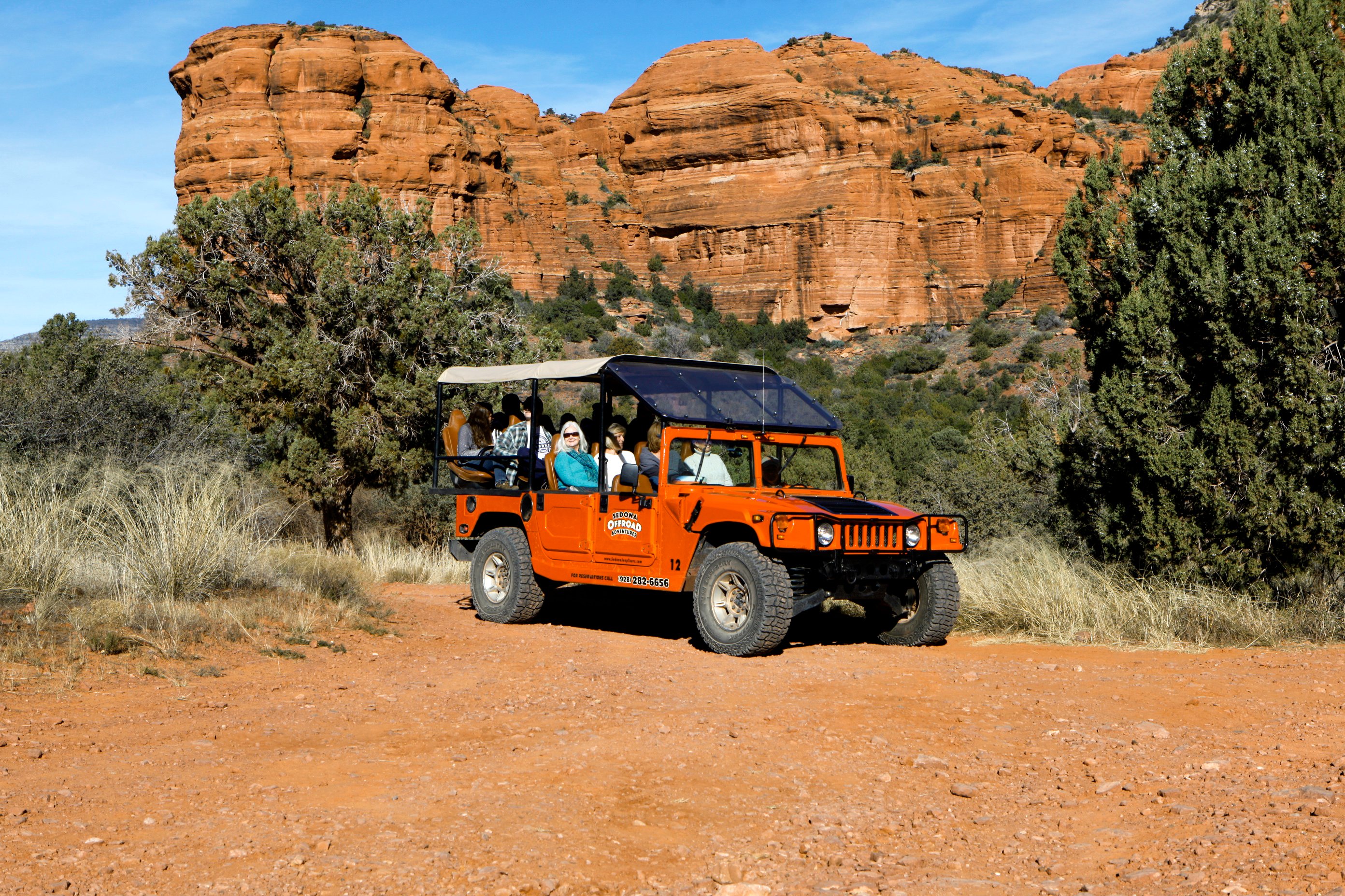
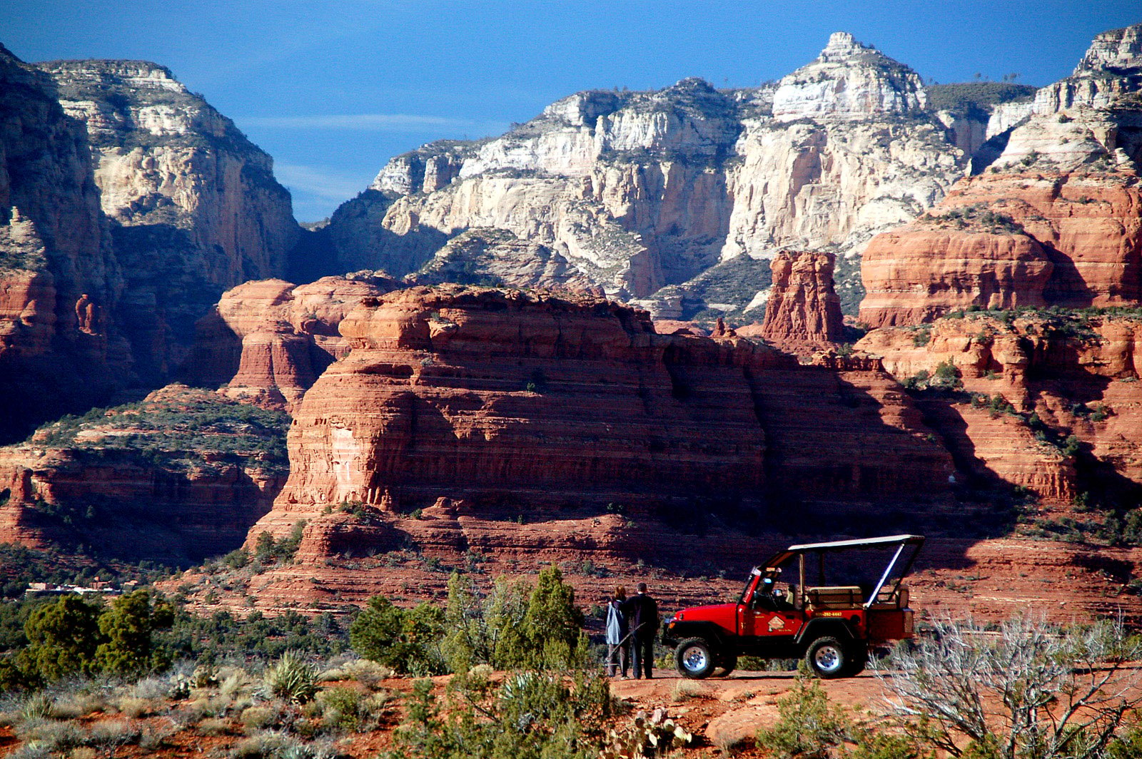
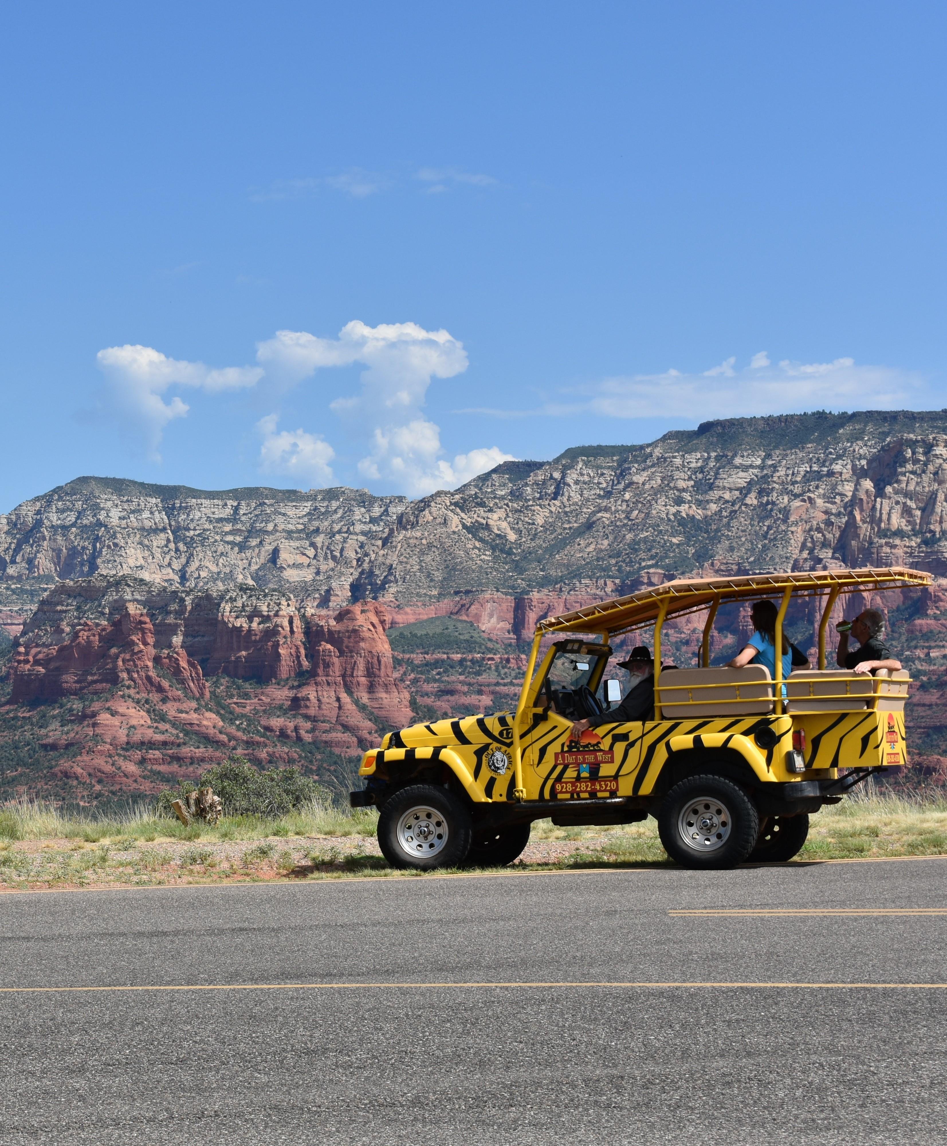
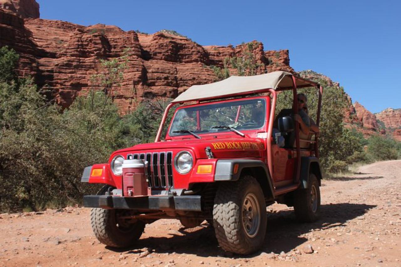
A moderate canyon trail past the Seven Sacred Pools and the Devil’s Kitchen sinkhole, under Coffee Pot Rock and Thunder Mountain. Access is the tightest in Sedona: the gate is time-controlled (roughly 8 AM–6 PM) and only 12 motorized day-use permits are issued per day via Recreation.gov — which is exactly why most visitors ride it with a permitted operator instead of self-driving.
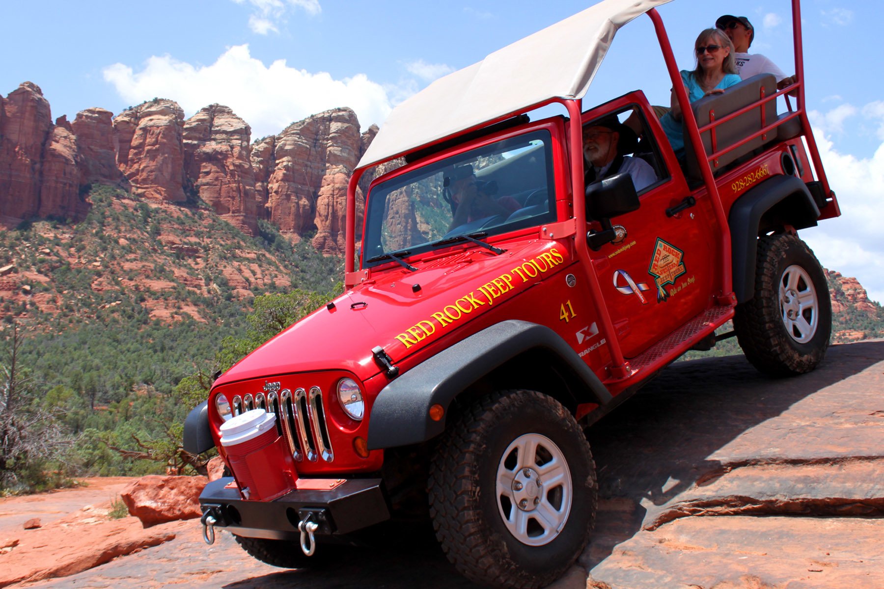
A high-desert loop northwest of Sedona out to the Honanki Heritage Site — cliff dwellings and rock art left by the Sinagua people. Moderate going; no trail permit, but a Red Rock Pass is needed to park at Honanki. This is the archaeology-and-history end of the red rocks rather than the white-knuckle end.
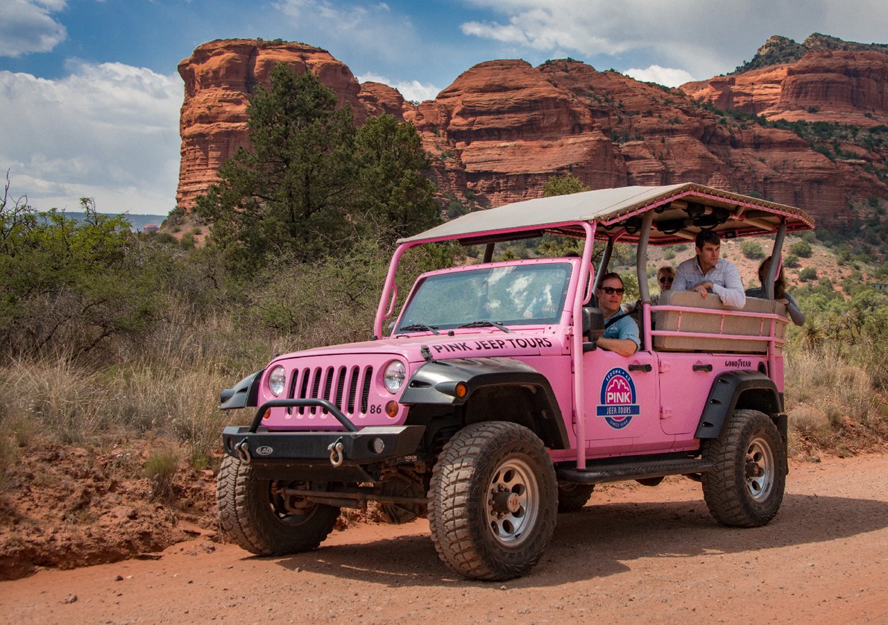
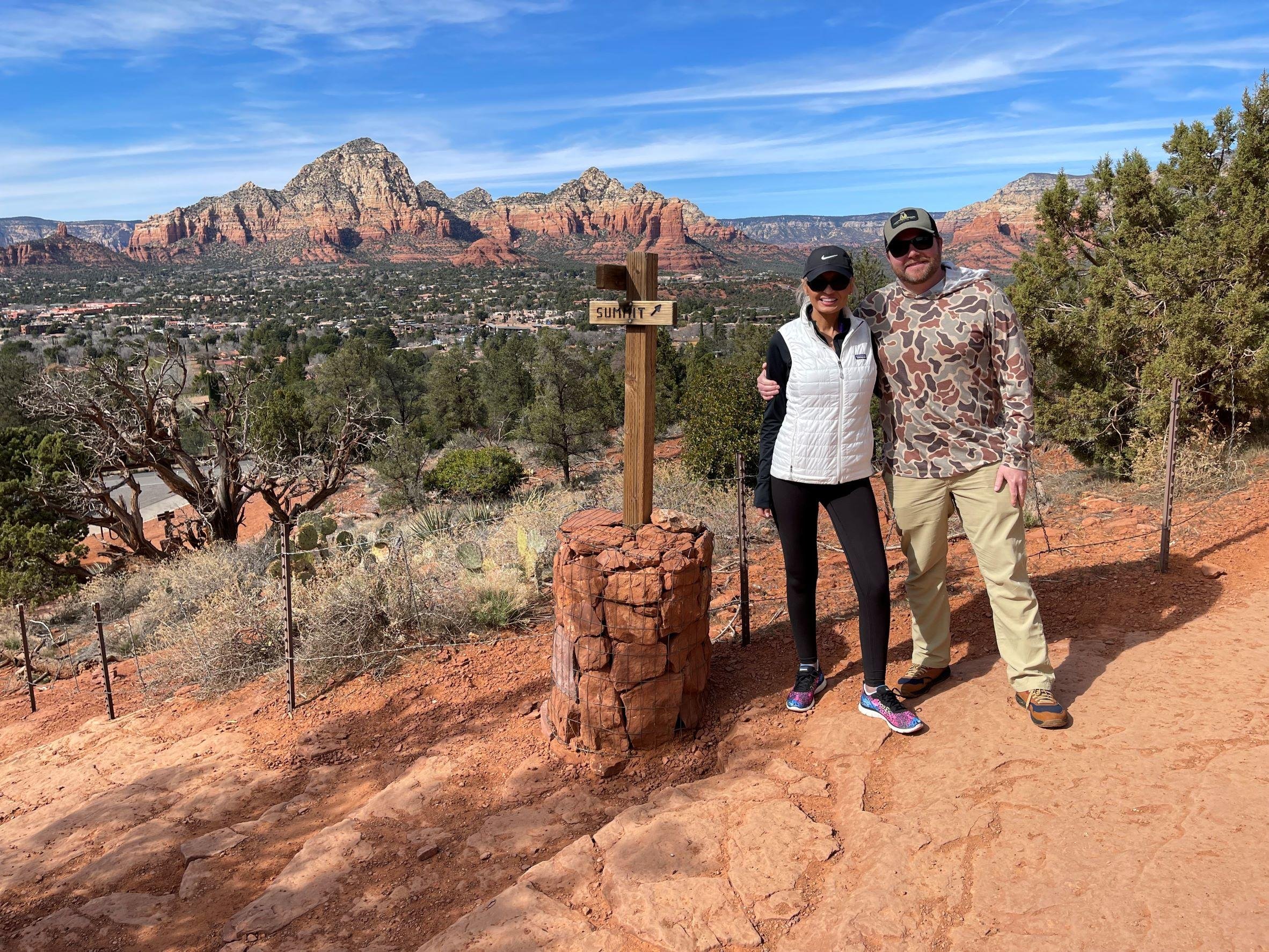
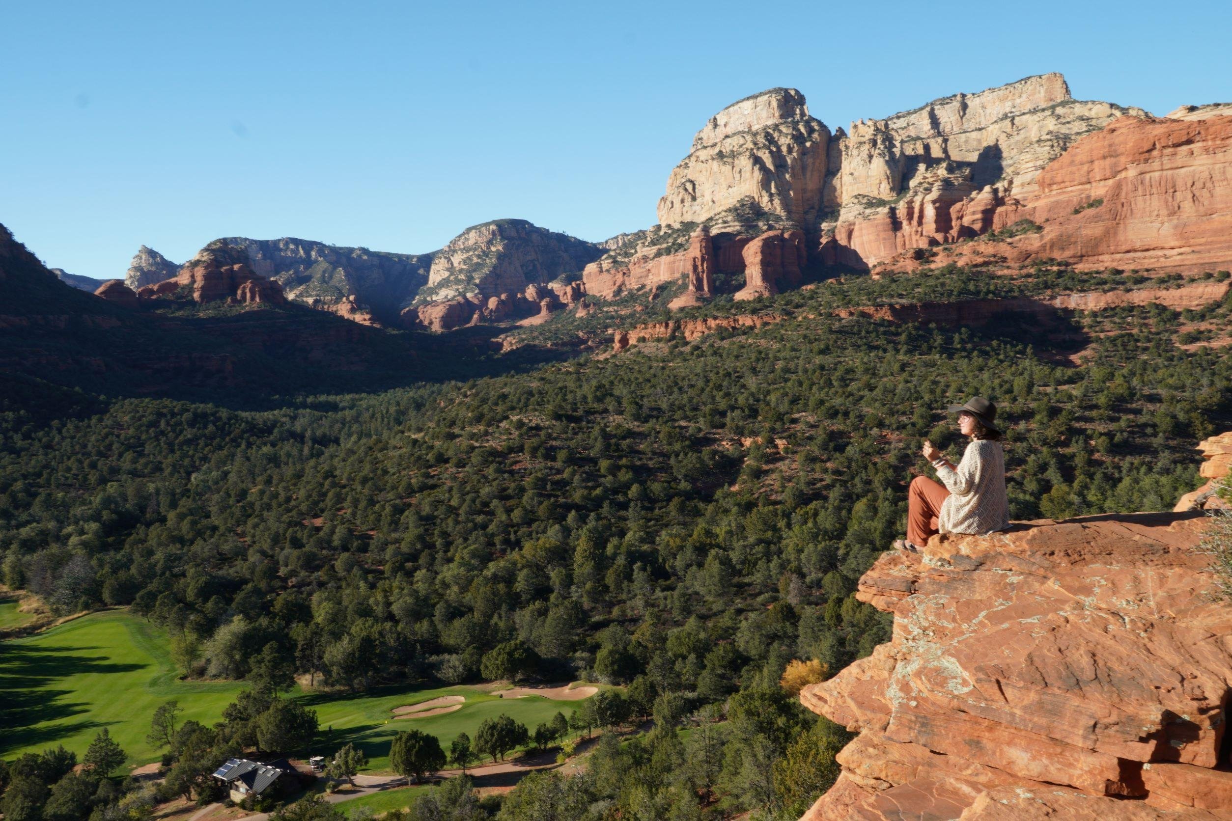
The spiritual circuit — Airport Mesa, Boynton Canyon and Bell Rock, the best known of Sedona’s four main energy vortex sites. These tours trade rock-crawling for slow scenic stops, guided meditation and red-rock context. Easy riding, suitable for most ages.
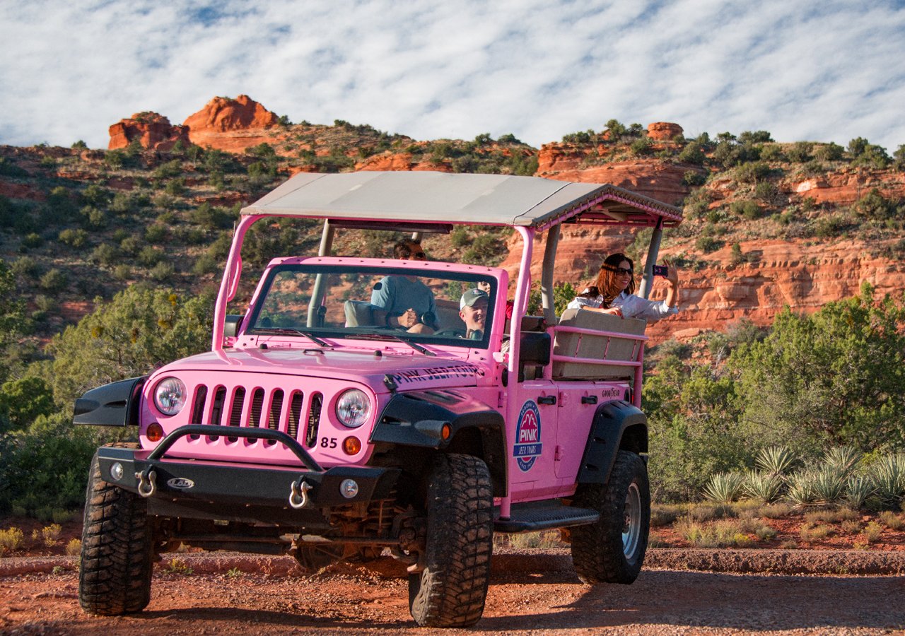
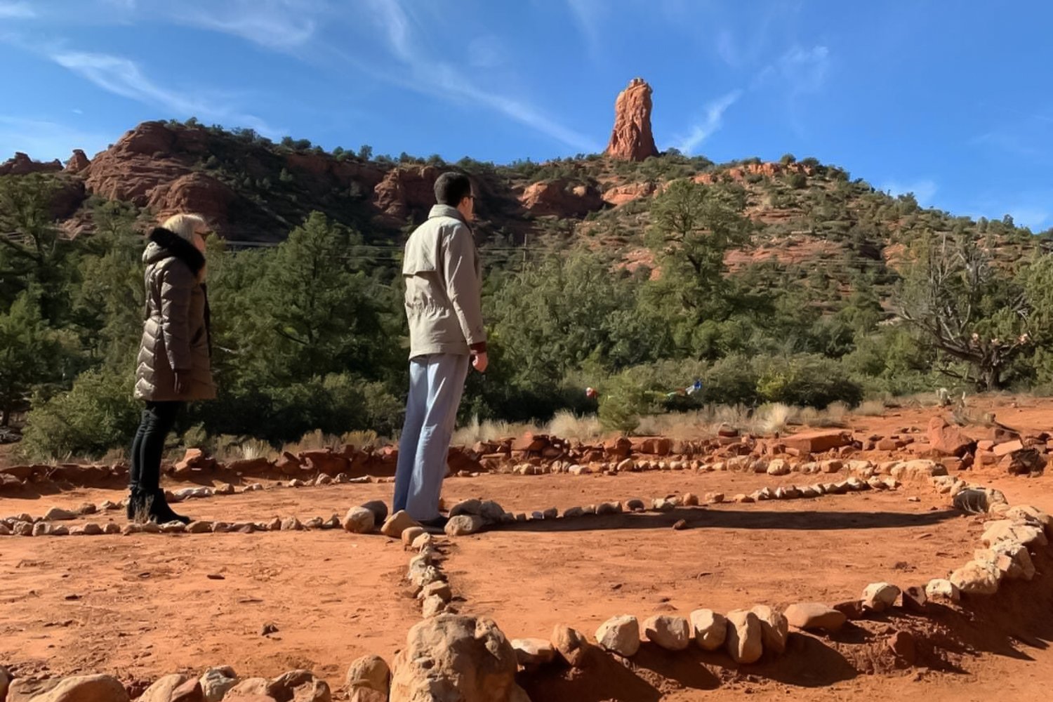
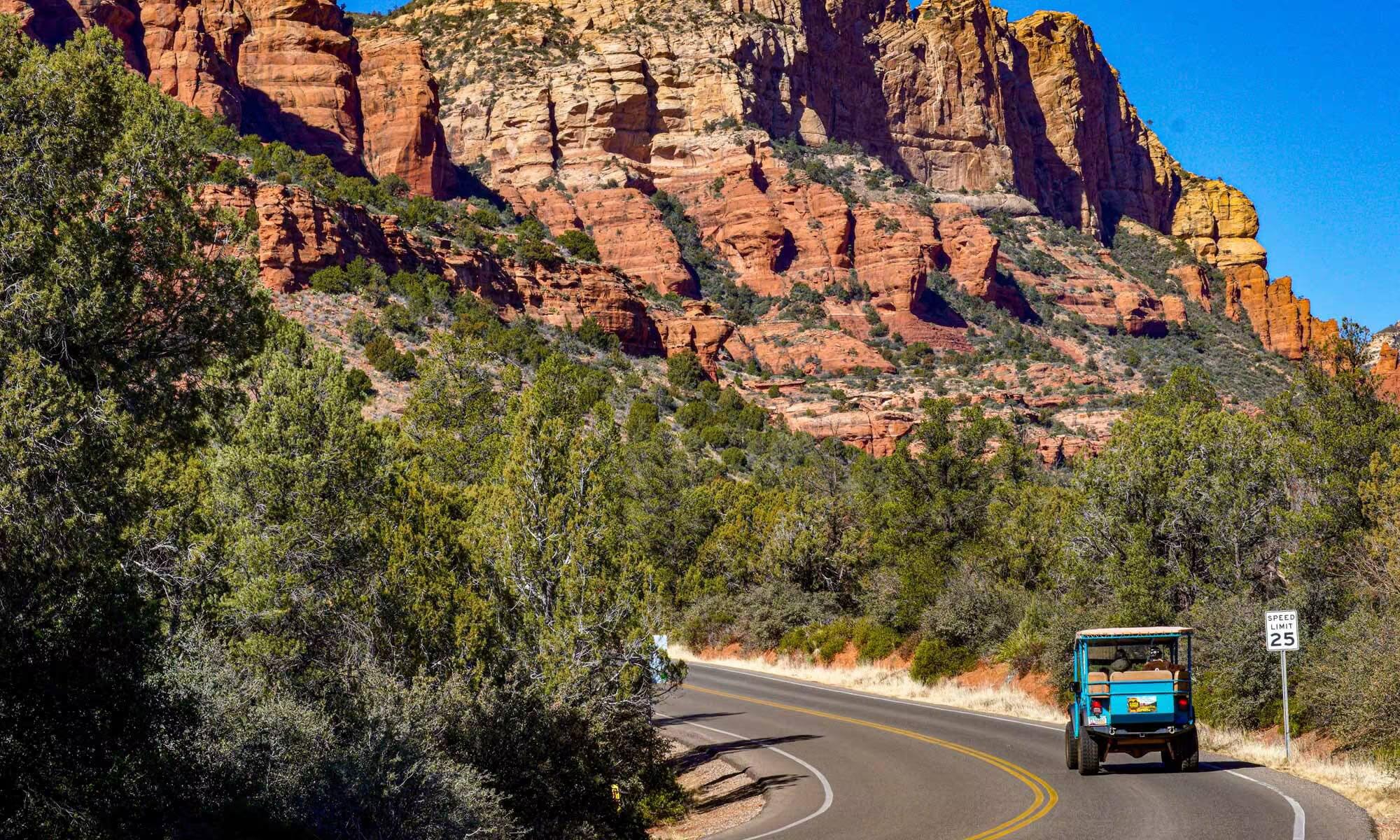
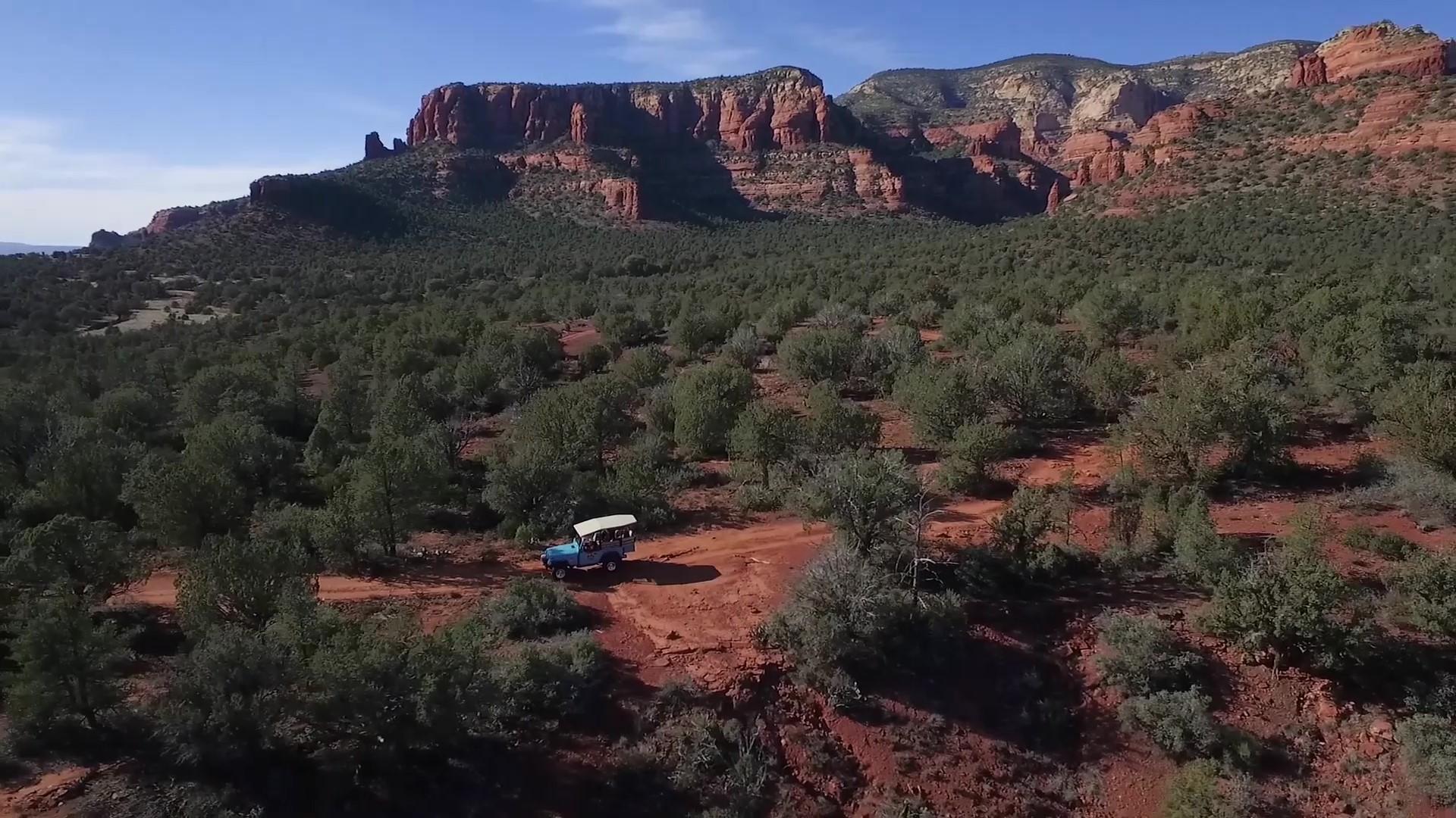
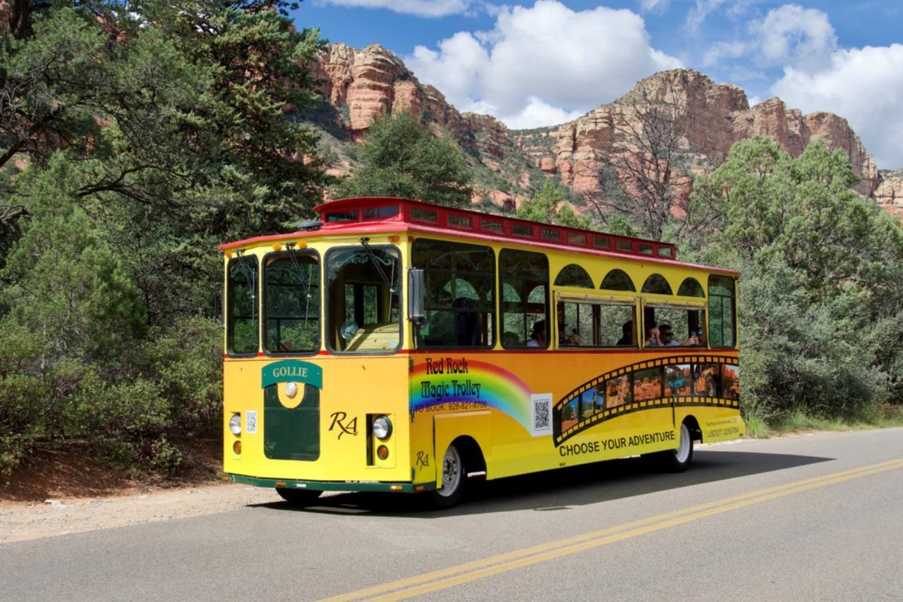
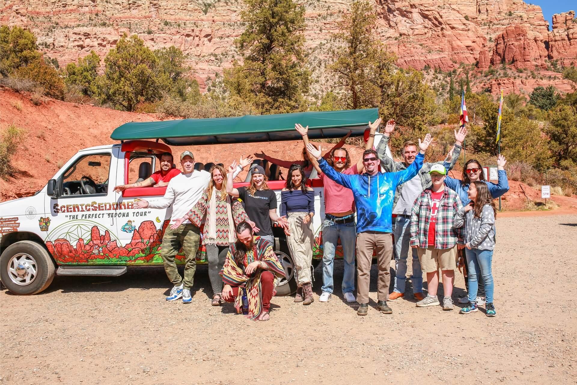
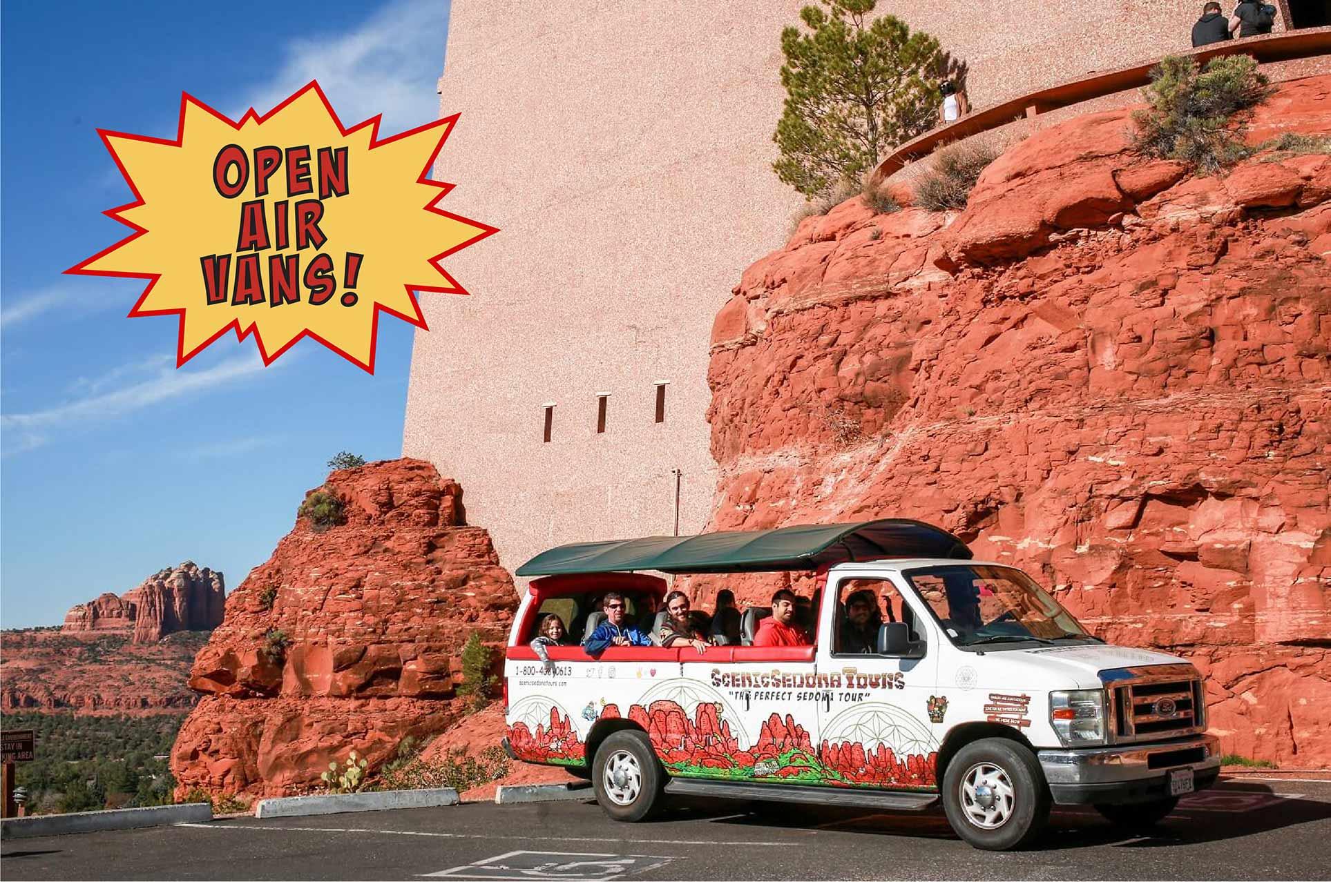
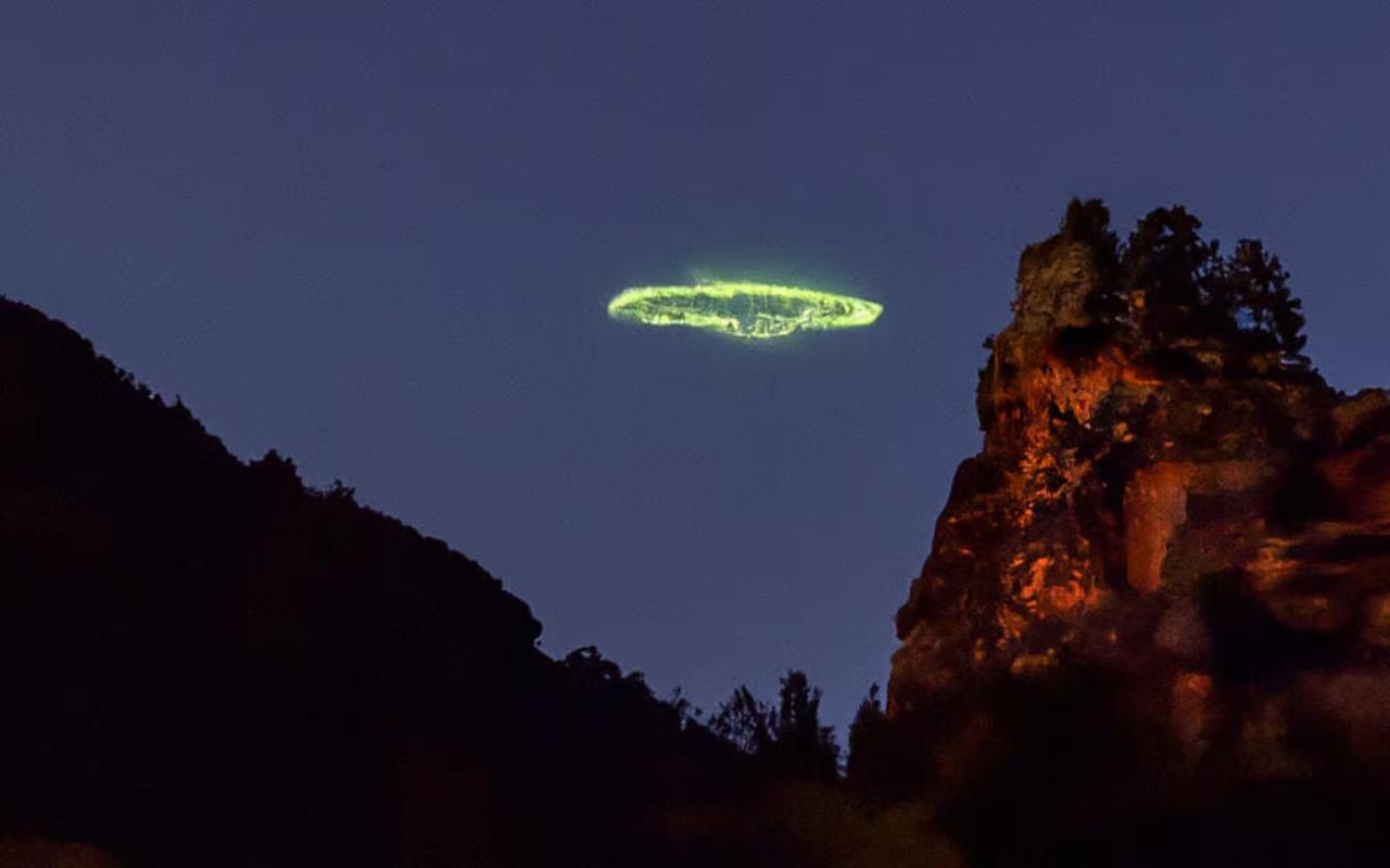
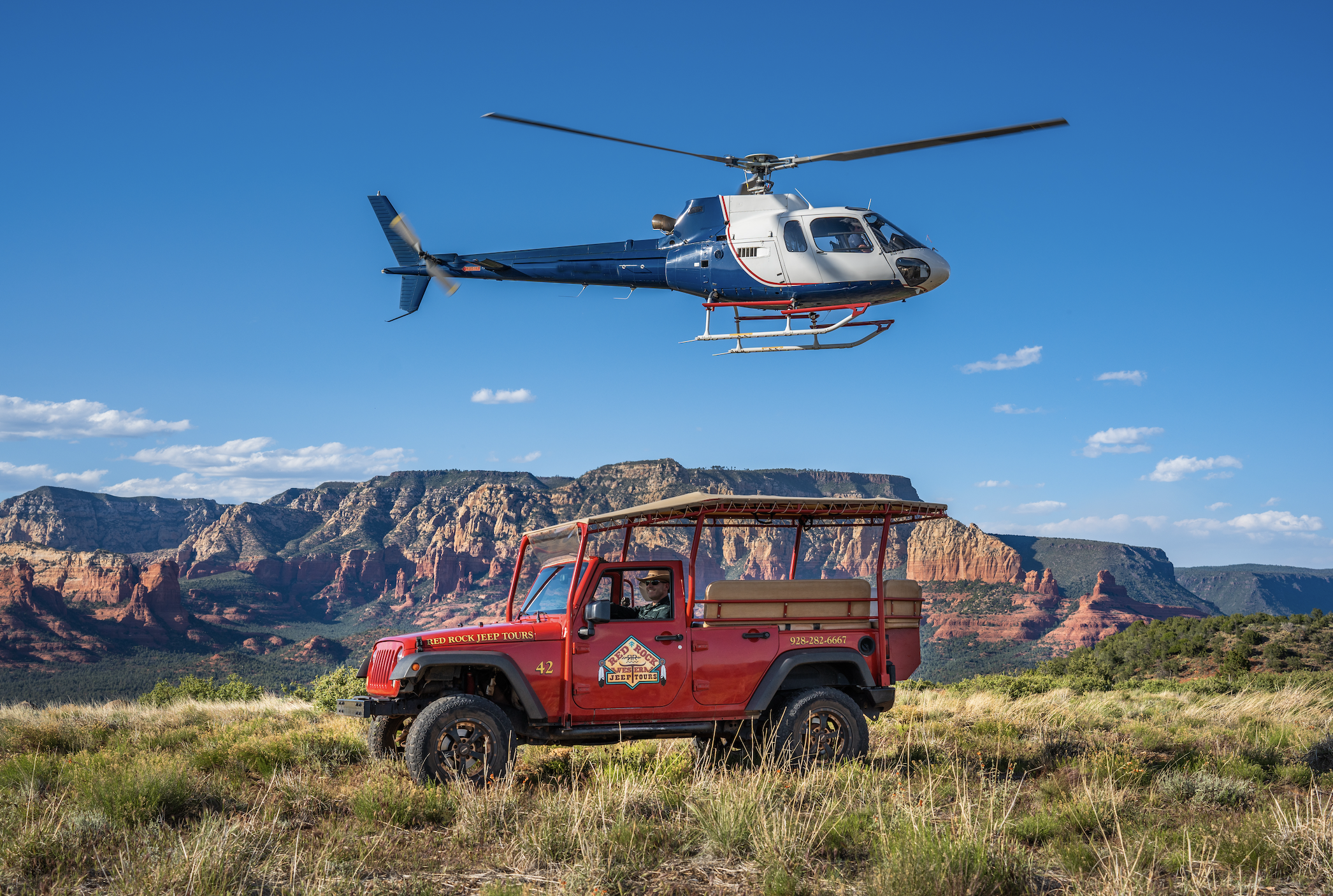
The mellow and the after-dark options. The Oak Creek Canyon run is a gentle paved/scenic drive up the wooded canyon north of town; out west, the Bradshaw Ranch trails (an old movie ranch) add a remote-backcountry feel and the famous UFO night tour under some of Arizona’s darkest skies. A helicopter-plus-jeep combo also stages from here.
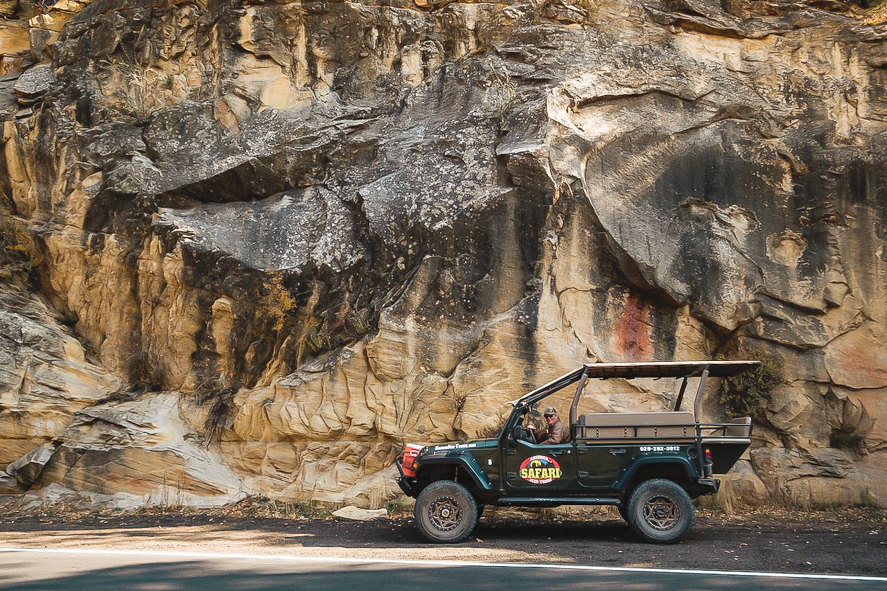
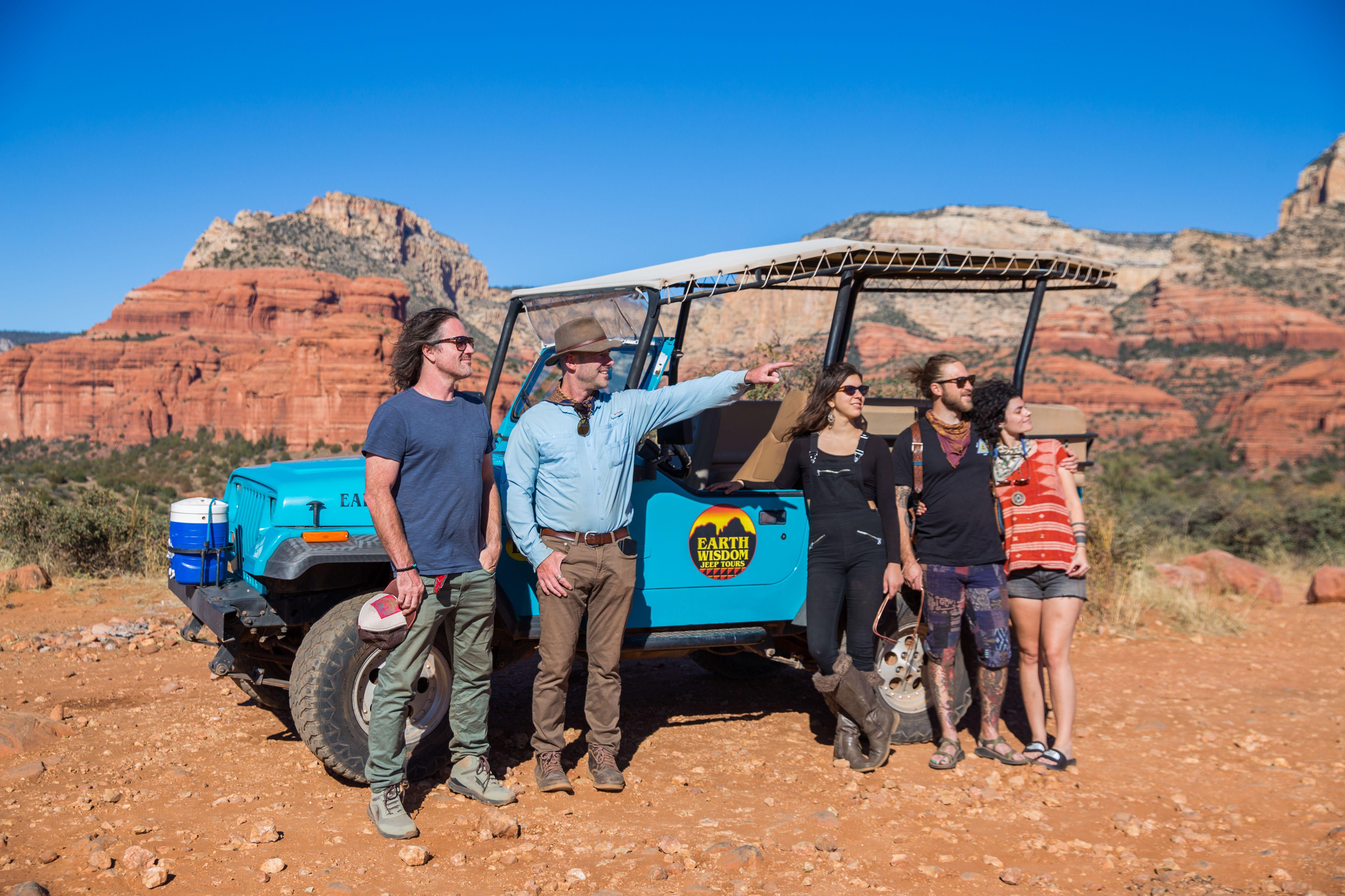
Ride a Sedona trail with a certified guide →
Broken Arrow's slickrock, Soldier Pass's permit-only canyon, the climb to the Mogollon Rim — the easiest way onto the best trails is a guided open-air Jeep. The top-rated Pink Jeep Scenic Rim runs 2.5 hours from uptown Sedona, 4.7/5 from 271 guests.
Check Sedona Jeep Tour AvailabilityPlanning the trip? Compare Sedona's jeep tour operators, read the trail-by-trail Broken Arrow vs Soldier Pass breakdown, see what to expect on a tour, or pick your season with the best-time-to-go guide.
Sedona Jeep Trail Map — FAQ
Which trails you can ride, who's allowed where, and the 2026 access rules.
Yes — Sedona sits inside the Coconino National Forest and most of its famous 4WD trails (Broken Arrow, Soldier Pass, Diamondback Gulch, Schnebly Hill, the Outlaw Trail to the Honanki ruins) are open to high-clearance vehicles. Two big catches: some trails are commercial-permit-only or capped by daily permits, and clay sections turn impassable when wet. The easiest way to ride them legally is with a permitted operator — use the trail map above to see which tour covers each trail, then check live availability.
Broken Arrow is the icon — a slickrock rock-crawl past Submarine Rock, the Devil's Dining Room sinkhole and the Chicken Point overlook. It's also the most access-restricted: Pink Jeep is the only commercial operator permitted to run Broken Arrow. We've marked the trailhead as a landmark pin on the map; for the bookable rim and slickrock tours, see the Schnebly Hill & Scenic Rim zone.
Broken Arrow is rated difficult — steep slickrock ledges and the notorious ‘Devil's Staircase’ descent. In a guided Jeep it feels dramatic but is perfectly safe; the guides do this dozens of times a week. If you want the gentler experience instead, the Pink Jeep Scenic Rim climbs mild dirt roads to the Mogollon Rim with no rock-crawling.
Yes. Soldier Pass is the tightest-access trail in Sedona: a time-controlled gate (roughly 8 AM to 6 PM) and only 12 motorized day-use permits issued per day through Recreation.gov. That scarcity is exactly why most visitors ride Soldier Pass with a permitted private operator rather than self-driving — see the Soldier Pass zone on the map for the bookable tour.
Not when you book a guided tour — the operator's commercial permit covers you. The Red Rock Pass (about $5/day) only matters if you self-drive and park at a trailhead like Broken Arrow or Devil's Bridge. For what to bring and when to go, see our seasonal guide.
Depends on the trail: Broken Arrow runs past Submarine Rock and Chicken Point; Soldier Pass passes the Seven Sacred Pools under Coffee Pot Rock and Thunder Mountain (Capitol Butte); the Schnebly Hill scenic rim opens onto the full Mogollon Rim panorama; and the vortex circuit takes in Boynton Canyon and Airport Mesa. The grey landmark pins on the trail map mark the headline viewpoints.
Rattlesnakes live in the red rocks but are shy and rarely seen from a moving Jeep — they're a hiking consideration, not a tour one. On guided tours you stay with your guide at the photo stops, so it's a non-issue. Closed-toe shoes are still a smart call; see our what to expect guide.
Tours run year-round, but the high trails change with the season: the upper, unpaved part of Schnebly Hill Road closes in winter snow, and Diamondback Gulch's clay sections shut down after rain. Spring and autumn are ideal — mid-70s°F and clear. See our best-time-to-go guide for month-by-month weather and trail status.
Still have questions? Email us at info@sedona-jeep-tour.com